Thursday, September 15
I dutifully drove back to the lodge and fetched our morning coffee. We had previously determined that our main vague waypoint, Yellowstone National Park, was not readily reachable from the spur into Idaho we had taken. So we returned to Montana and resumed our course south along Interstate 93.
We stopped for a walk in Darby, Montana, a town that has maintained an Old
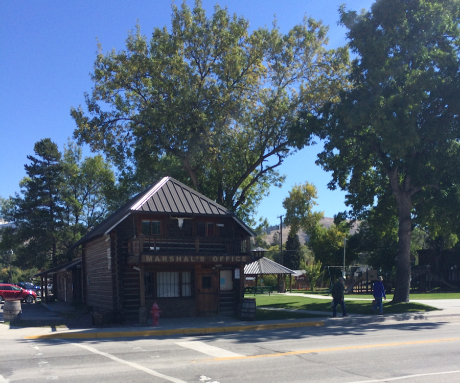
West theme on its main street to such extent that even their police station is decorated with an western facade, complete with cow skull mounted over the main entry, and is called the Marshal’s Office. I wandered into a sporting goods store, but found it mediocre. We lunched at another diner. Before leaving, I wandered into a store offering handmade Stetson-style headgear with no real intent to buy and couldn’t coax the owner into conversation. Oh well, that’s perfectly fair for a tire kicker.
We reentered Idaho from a more favorable position and somewhere along the highway the landscape changed again. The plains became flatter and more arid, the mountains drew closer and more violent in shape. The color palette emphasized yellow and orange reds. We stopped for a short walk up a pass serving as the start to a long distance trail. Maybe if my companion had younger bones…
We arrived at Salmon, Idaho, a town serving as the branch for two southerly routes along the highway and found a coffee shop to make our plans. Our server described herself as a refugee from Texas. Dad, with his life history, is able to be from Texas when he wants to be and made conversational leverage of that connection. We learned she came from El Paso and hated it and my dad gave his assent to this hatred, agreeing that it was just an overbuilt and nothing special. We asked for advice on where to proceed and the waitress called over the cook to advise us. They expressed their distaste for driving south, saying the road was straight and boring. They warned of limited campsites along the highway, that the night out there was creepy, and that land use is further limited by Idaho National Laboratories taking a great swath of the map (“where they do… woowoo things…”).
We were sold at creepy.
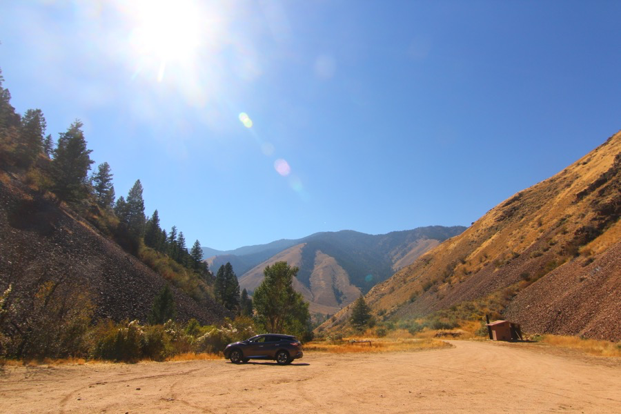
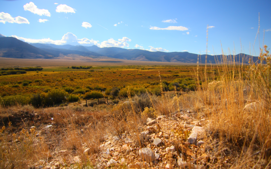
The valley opened up with the Bitterroots now on our left and the Lehmi range to our right. A creak knotted itself around the length of the highway, nursing an alluvial passage through the shrubs of the desert. The highway was indeed mostly straight, but we were hardly bored. We made stops to photograph grasslands leading to the foothills of the Lehmis on one side of the road and the brown shrub vistas on the other.
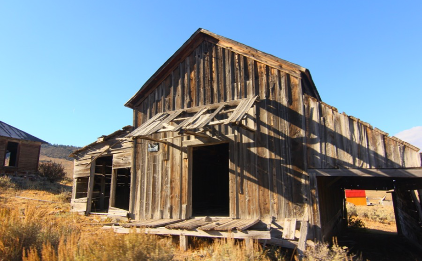
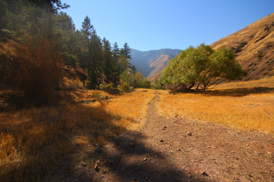
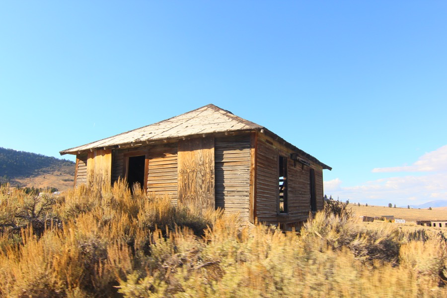
We found a small road leading off the highway crossing an abandoned railroad. The tracks were long gone, but the warning sign was left. Beyond this was the semi-ghost town of Gilmore. Gilmore, we learned, had been a mining town, producing lead and silver from the hills. It was named after a businessman named Gilmer, but the US Post Office charter for the town had the name misspelled and the new name remained. Most of the permanent remnants of the town are old wood buildings in the process of following over in slow motion. But the town still has a number of residents living in motor homes parked among the old totems of beautiful decay. No one greeted us.
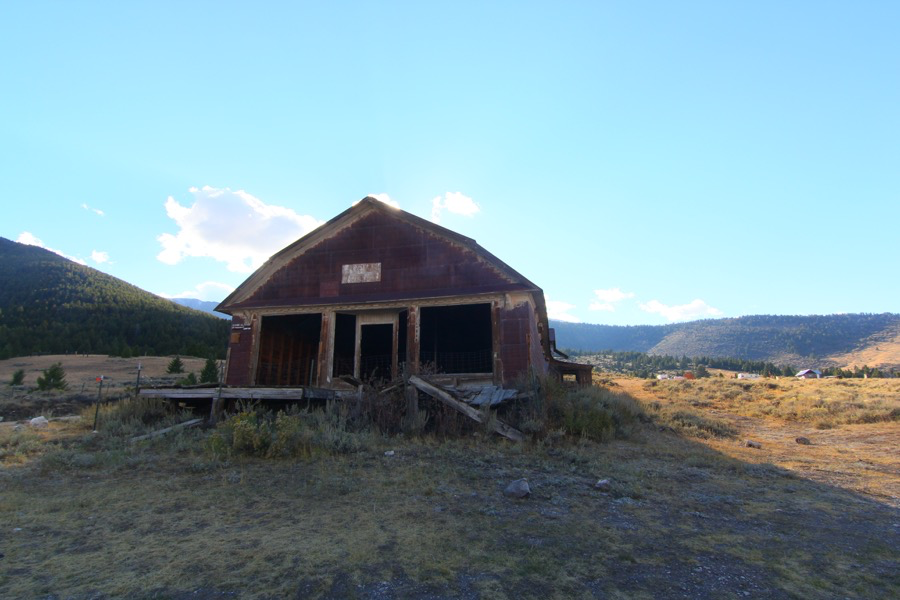
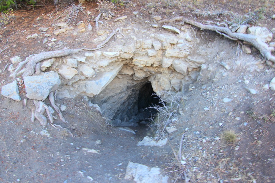
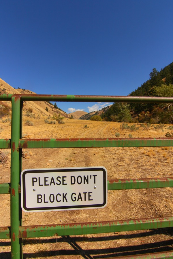
A road led up the mountain, which we followed for a time, noting a few of the permanent buildings had been maintained as homes. Somewhere before we turned around we found a well maintained mine that looked like a narrow man made cave leading into the guts of the foothills.