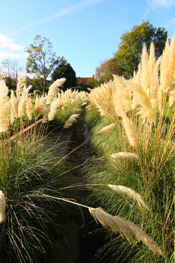
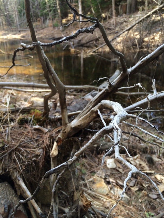
Image of the Day – Overgrown grass in Lewes, England

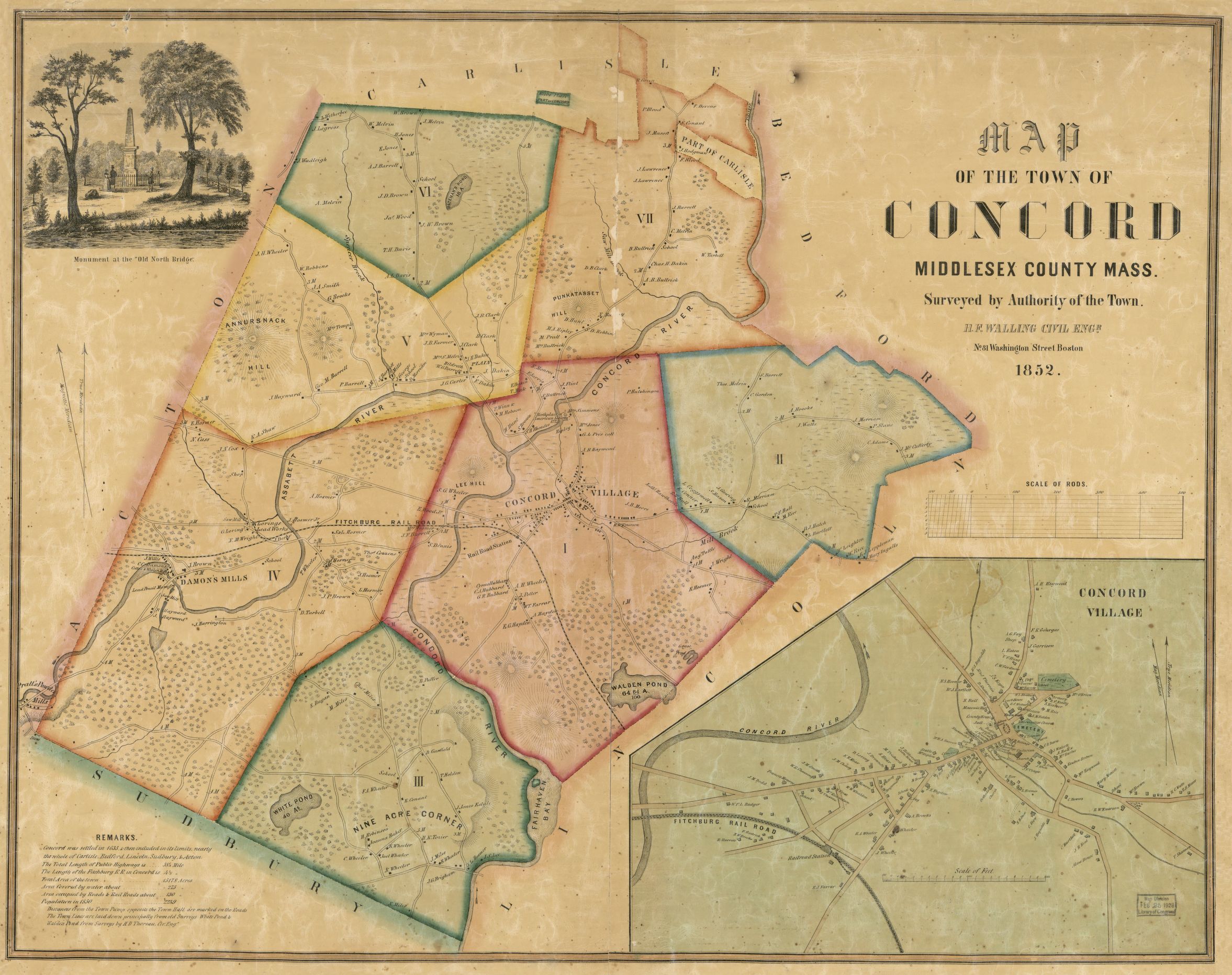
MAP
OF THE TOWN OF
CONCORD
MIDDLESEX COUNTY MASS.
Surveyed by Authority of the Town
H.F. WALLING CIVIL ENGR.
No. 81 Washington Street Boston
1852
REMARKS
Concord was settled in 1635, & then included in its limits, nearly the whole of Carlisle, Bedford, Lincoln, Sudbury, & Acton.
The Total Length of Public Highways is… 58 1/4 Mile
The Length of the Fitchburg R.R. in Concord is… 4 2/3 “
Total Area of the town… 15178 Acres
Ara Covered by water about… 275 “
Area occupied by Roads & Rail Roads about… 130 “
Population in 1850… 2249
Distances from the Town Pump opposite the Town Hall are marked on the Roads
The Town Lines are laid down principally from old Surveys. White Pond & Walden Pond from Surveys by H.D. Thoreau, Civ. Engr.
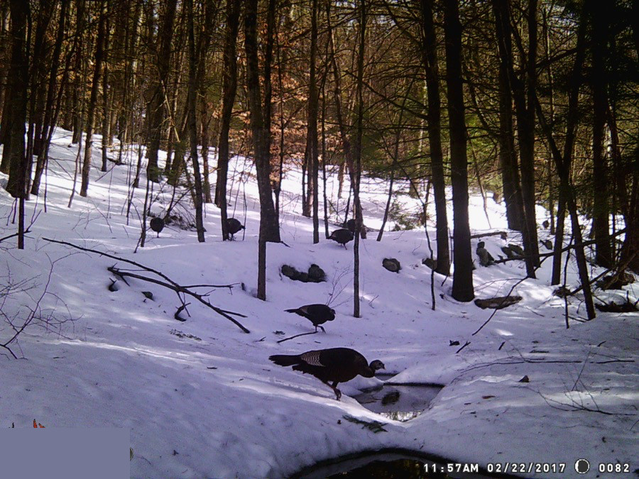
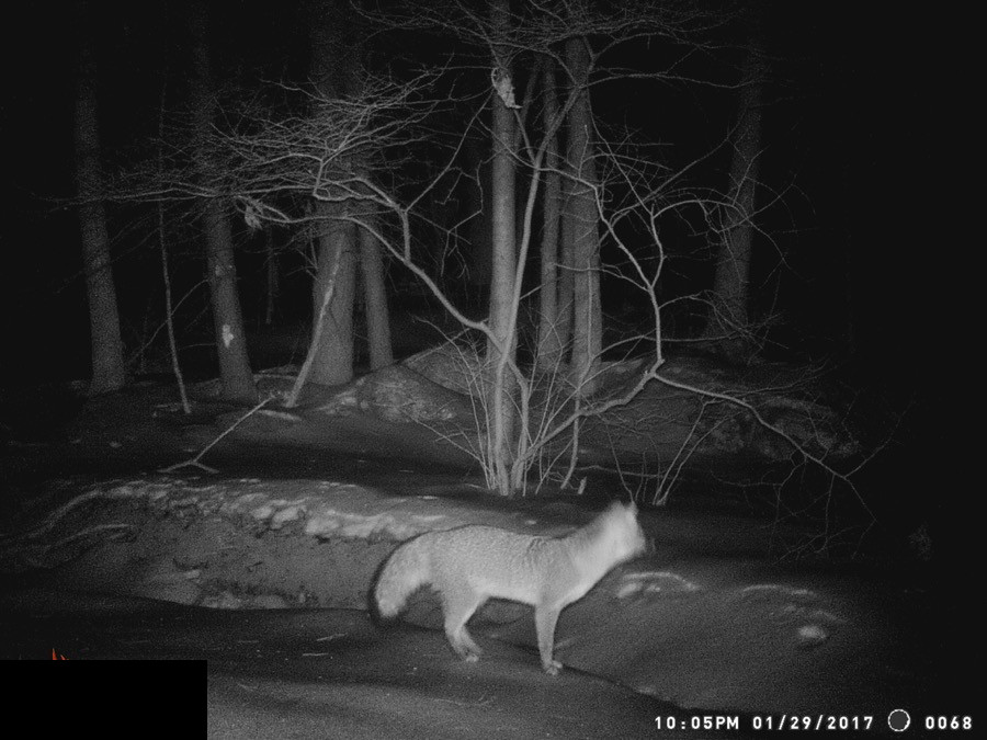
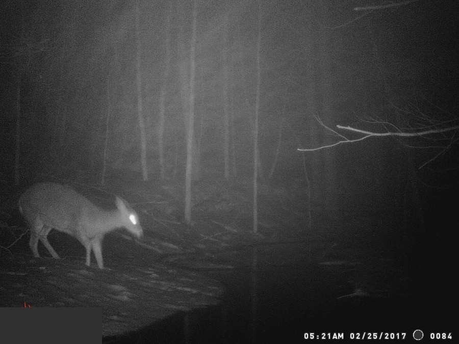
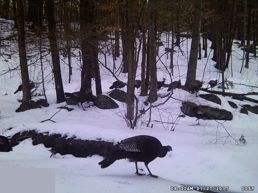
Since most of the posts have been in Concord and will continue to be for a little while, I thought this would be fun.